Coastal Defence
March 2026
Understanding Coastal Erosion Risk on the South Coast

Mark HennessyCoastal Processes Specialist
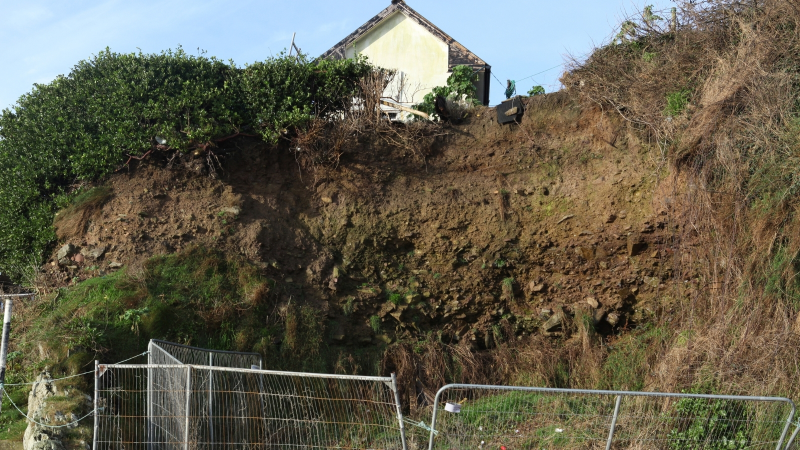
Coastal erosion is one of the most visible consequences of our changing climate, and the South Coast is particularly exposed. With a combination of soft geology, rising sea levels, and increasingly energetic wave conditions, many frontages that were stable a generation ago are now experiencing measurable retreat.
Understanding erosion risk starts with good data. At Ocean Leap, we combine historical Ordnance Survey mapping, aerial photography analysis, and modern LiDAR datasets to build a picture of how a particular stretch of coast has behaved over decades. This tells us whether erosion is accelerating, cyclical, or stable — and crucially, whether natural sediment supply is keeping pace with losses.
The next step is numerical modelling. Using industry-standard software, we simulate nearshore wave conditions, longshore sediment transport, and cross-shore profile response under current and future climate scenarios. This lets us quantify future erosion risk in concrete terms: how many metres of retreat, over what timeframe, and with what confidence.
For coastal property owners, local authorities, and developers, this analysis is the foundation of everything that follows — whether that’s designing a new defence, adapting an existing asset, or making an informed decision about managed retreat. If you’re concerned about erosion risk at a specific site, we’re always happy to discuss options over the phone.